Our property up north where we hang out and hunt grouse is not looking very good for avoiding the wildfire up there. Yesterday I estimated it was 5 miles from us and we were in a level 1 (least severe) evacuation. Unfortunately by dinner time yesterday we moved to a level 3 (go now) evacuation and now the fire line is about 3000 feet from us and burning right in our direction. Last night the Incident Team had a meeting with the local folks that I was able to watch online this morning. The commander said that the fire got real active yesterday afternoon right in our area. They had to pull their crews back for safety. I had hoped that once the fire got to the heavily logged off area behind us the firefighters would be able to control it. From looking at the map it looks like the fire has crossed that area. The commander said that yesterday due to very limited visibility the fire boss planes were not able to dump water. This is a very mountainous area that fixed wing planes can not fly in without good visibility. They do have a helicopter dumping water that can operate with the limited visibility. Too much smoke causing the visibility problem.
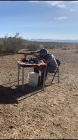
I thought about driving up there yesterday and get some equipment out of the shop but decided to wait until this morning. Bad decision as the road is now closed. I have a riding mower and my brush hog up there plus my shooting bench and target stand. Plus a brand new never used garden cart I planned to use to haul my shooting stuff up the hill to the range. Oops!

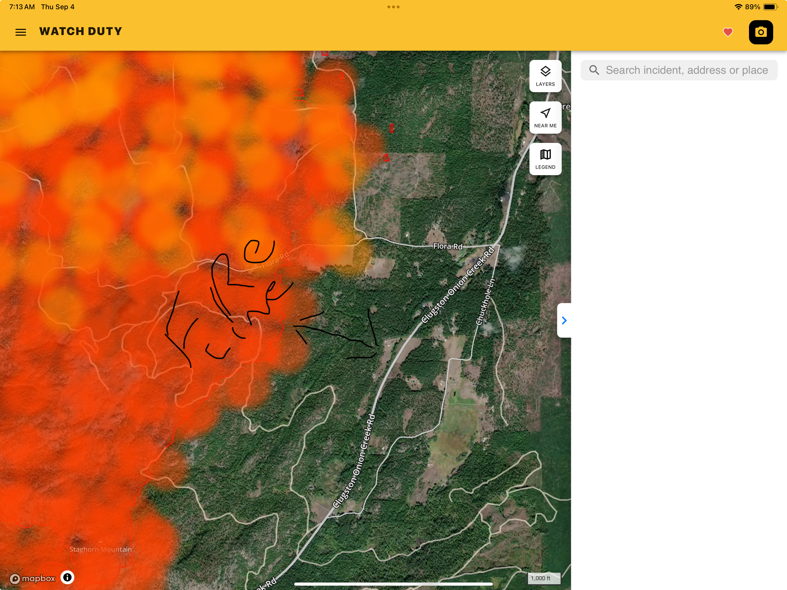
Here’s the current map of the fire line and the distance to our place. We’re trying to stay hopeful but it’s not looking good. Feel really bad for the folks who actually live around the place, they have much more to lose than us.
Map from yesterday morning:

- IMG_0227.jpeg (1.46 MiB) Viewed 242 times
Map from this morning:
- IMG_0228.jpeg (3.86 MiB) Viewed 242 times